Craig's Report - November 30, 2007
Touch and Go
With no new snow since Monday, it is going to be touch and go as to whether they will be able to maintain the scheduled opening of a week from tomorrow. It is all going to hinge on a storm forecast to come through starting Sunday. The good news is all the forecasts suggest lots of new snow up top, but unfortunately most suggest warm temperatures, particularly on Tuesday, at the base and thus the possibility of significant rain. Given that there is already virtually no snow on the lower mountain except for where the snow guns are, that would clearly be a disaster. If things were good up top, they might open anyway and rely on downloading on the new side and the snow making on lower Lizard to get folks off of the mountain.
There is no doubt we are now well behind average in snow for this time of the year, as a look at the Environment Canada snow pillow data for Morrisey Ridge confirms. I would even consider the upper mountain pretty marginal for skiing, but one big storm could certainly change that and instantly change gloom to glee. Let's hope this predicted one fills the bill, while also being kind to the lower slopes.
At 16:50 it is clear and chilly with a temperature of -15 C at the house.
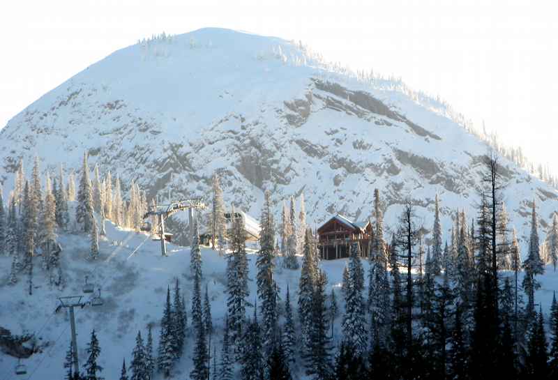 The top of the Timber Chair and Lost Boy's Cafe catch the last of the sun in this long shot from Surprize and the Summer Road. |
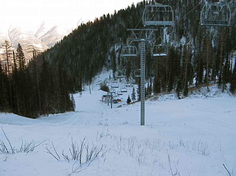 Looking down at the base of the White Pass chair from the same spot. |
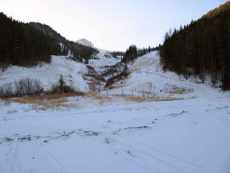
 The view towards the base area from Meadow, just above the base of the Timber Chair. Not even close yet. |